The axis of Canal Al-Zumor
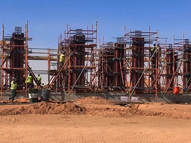
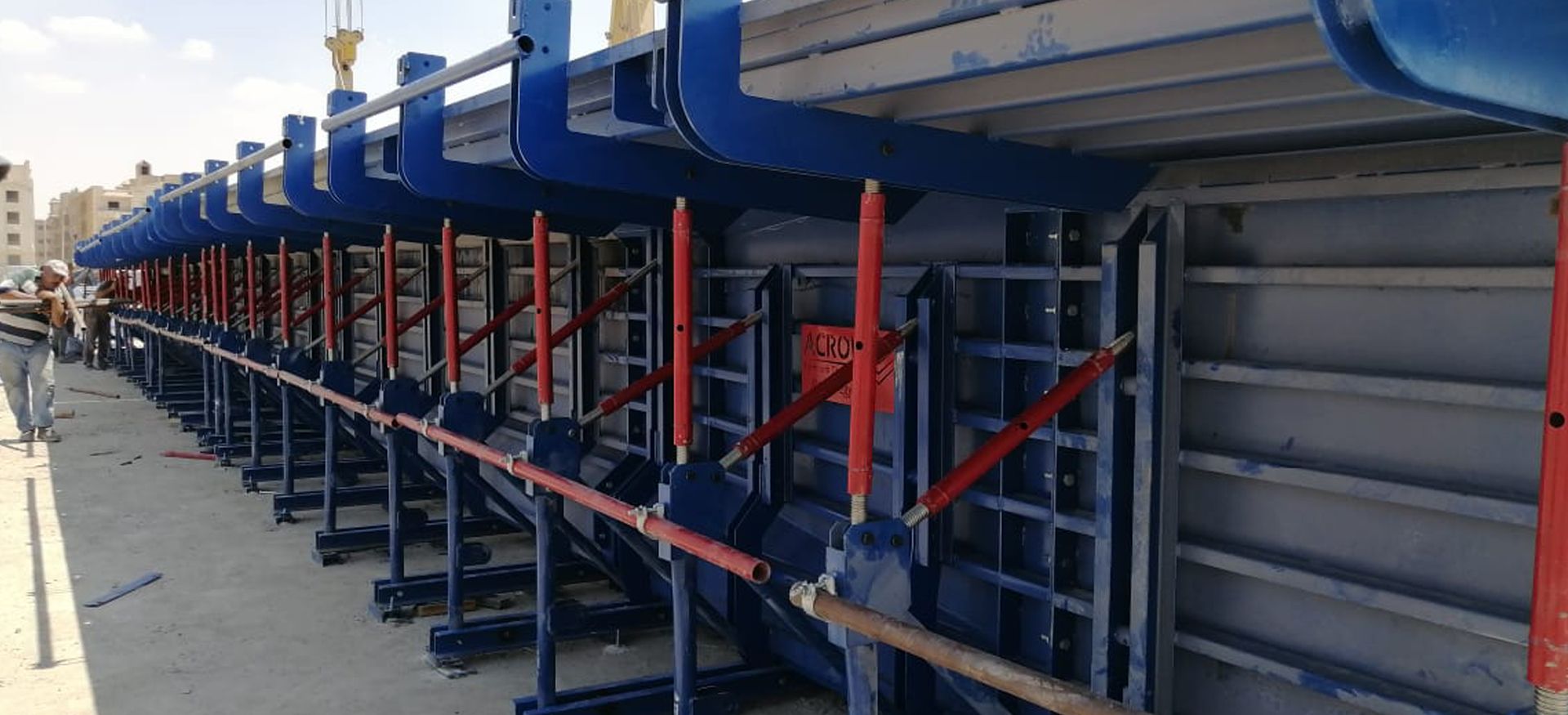
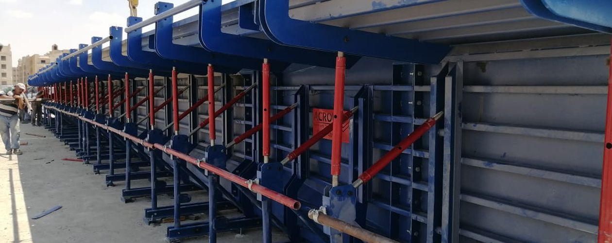
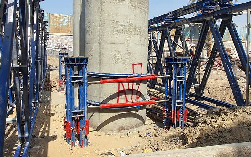
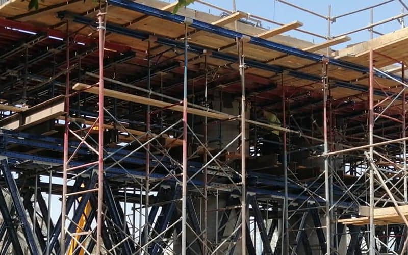
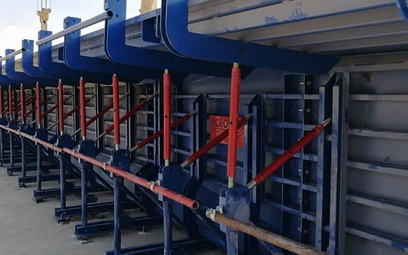
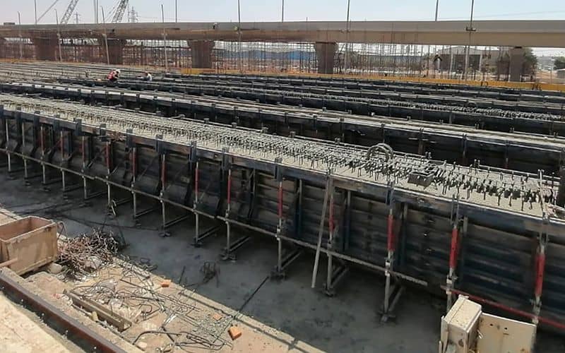
The project of Canal Al-Zumar Corridor in Giza Governorate, within the national road network projects that are implemented by the Ministry of Housing through the Central Agency for Reconstruction (Greater Cairo Reconstruction Agency) and are implemented by national companies specialized in this field.
The project’s path begins by linking with the Ring Road in the south “Munib Ring” and ending with the link with the Tahya Misr axis in the north, with a length of 15 km, interspersed with 8 km of bridges, including 3.65 km of two-story bridges other than the ramps and houses, and the rest of the track is shallow and the width of the axis is (30-65,5) meters inclusive Service roads and the axis connects the main transverse axes (the northern arc of the Ring Road "Al-Warraq Ring" - 26th of July axis - League of Arab States Street - Saft Al-Laban axis - Faisal Street - Haram Street - Khatam Al-Morselin Street - Urban Bridge).

